
Illustrated Maps
Over the years, I’ve drawn many Illustrated Maps for various clients. I enjoy the art of cartography. It’s a great combination of graphic elements: Line work, texture, motif and hand-lettering. One project comes to mind…
I received a phone call from someone at the World Wildlife Fund. He was most engaging, and made a pitch: “We’ll give you $500. and 50 tee-shirts with your map for us printed on them!” How could I refuse? Here is the art I made for this worthy organization…

Lizard Map, Central America
This art was made in two parts. The black-and-white drawing was made first. From this art, I made a transparency at about the same size. Then, I created a full-color backdrop with watercolors and colored pencils. When the two layers are joined, they create a striking graphic image. To give you an example of a black-and-white map, here are a couple I created for a cruise line:

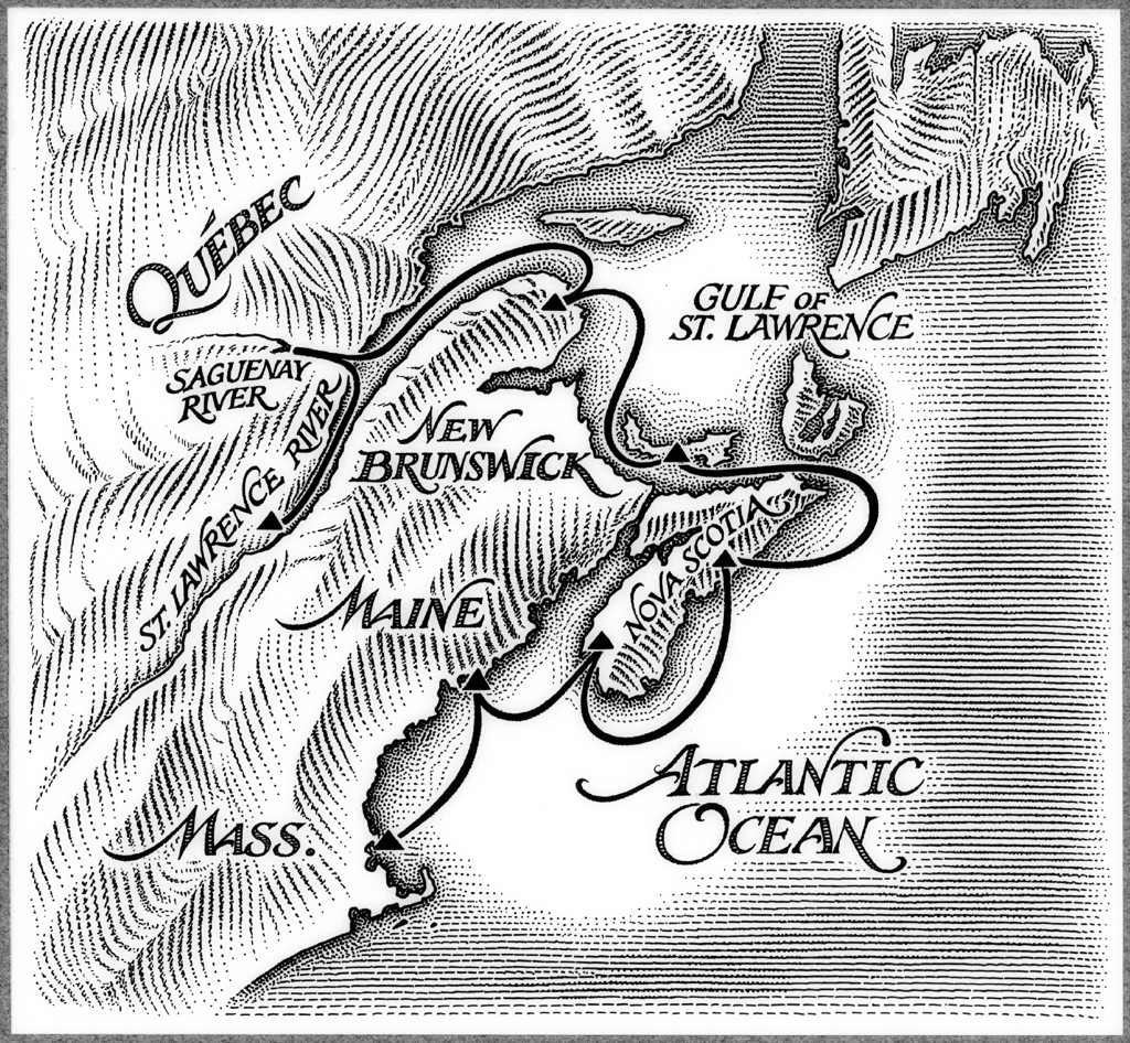
Cruise Maps
The map on top contains some cross-hatching to depict topography. I later thought it would be more effective to go full-linear (map on bottom). I like doing hand-lettering, as you might notice here.

Africa Map
This large map was made for one of the airlines. Getting the topography down properly is always a challenge. It takes careful attention to a good reference. In fact, I just finished two maps where topography was an important feature. These will be appearing in an upcoming book…

Map of Laos

Map of California
These maps are bordered by a traditional Laosian textile pattern symbolizing mountains, a prominent geological feature of the country.
Lastly, an illustrated map I made for the book titled, “Lost on Planet China”…

Illustrated Map of China
I had fun with this one. Aside from all the hand-lettering, it contains some comic illustration elements, as well as a compass rose and decorative borders… you’ll see yin/yang symbols nestled in the border’s corners. No topography to worry about in this one! This illustration greets the reader as a spread behind the front and back covers of the book.
I hope you’ve enjoyed this survey of some of my map-making. It was my pleasure to create them all!